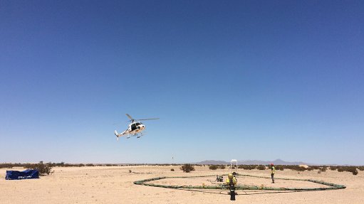
SkyTEM is the leader in innovative airborne EM geophysical surveying services. We engineer advanced data collection systems to meet the high-data-density and high-data-quality requirements of earth scientists for a wide range of subsurface studies.
SkyTEM pioneered calibrated dual moment technology and SkyTEM FAST for mapping from the very near surface to great depths, concurrently, economically and consistently, with lowered costs through rapid acquisition and delivery speeds. We offer reliable 12.5 Hz systems for even deeper anomaly targeting through conductive overburden.
Our mission
To provide knowledge about the earth beneath our feet, supporting more sustainable solutions.
Global scope
SkyTEM has flown over 1 000 000 line kilometres of time-domain electromagnetics for the purposes of mapping a wide array of geological features, geological layering, soil characterisation and fracture mapping.
Our diverse and highly skilled workforce of geophysicists, engineers, technicians and project managers have successfully managed and completed numerous projects on seven continents, with experience in all aspects of geophysical data collection. Our global coverage is complemented via partner companies that are strategically located to ensure availability of our technology and services.
We are distinguished by:
- Fast survey completion
- Fast data delivery
- High-quality accurate data
Contact us:
Christina Hutchinson, Africa Region Sales Manager
Tel: +27 71 285 7629 Email: chu@skytem.com