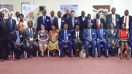
UGANDA WORKSHOP The pilot project and Uganda-hotsed geodata portal will be conducted under the auspices of the African Union Commission
Exploration and earth sciences company Geosoft is participating in a pilot project aimed at improving the availability, accessibility and usability of geoscientific data (geodata) to guide resource investment in the East African region.
The pilot project and the launch of a geodata portal hosted by Uganda will be conducted under the auspices of the African Union Commission (AUC), and is a collaborative partnership between the British Geological Survey (BGS), Geosoft, International Geoscience Services (IGS), the Uganda Geological Survey and the Uganda Chamber of Mines and Petroleum.
The regional pilot project is the outcome of a workshop titled ‘A new beginning: A collaborative partnering approach towards African geodata’, which was held last month in Uganda. This workshop focused on innovative solutions to Africa’s geodata shortfalls and drew expert participants from member States and institutions across Africa, the UK and Canada, and hosted discussions on data requirements, data management and technology innovation.
Geosoft president and CEO Tim Dob says the workshop was rewarding, enabling Geosoft to share its insights on geodata with government and industry representatives and contribute to a positive outcome that supports the fulfilment of Africa’s vision and potential for resource development. “Activation of Africa’s vast geodata resources, through multistakeholder collaboration, is key to unlocking its value for downstream economic and social benefit within the respective countries.”
Geosoft will collaborate with organising committee members, including the BGS and IGS, to implement the Uganda-hosted geodata portal.
“We are highly encouraged by this pilot initiative and the wide spectrum of geoscience data that will be made available,” says BGS executive director John Ludden.