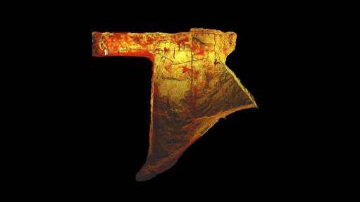
By changing their end-of-month reconciliation process, Barrick’s Kibali and Bulyanhulu gold mines saw improved data quality. Shadowless, uniform and high-resolution data is now available for geotechs, mining engineers, and geologists. The survey teams were able accurately assess stope stock volumes, without risking the safety of personnel. They’ve removed people from void edges and have significantly sped up data collection.
Watch the webinar to learn about George Fouche (Kibali) and Martin Le Grange's (Bulyanhulu) experience in deploying Hovermap and the benefits to Barrick:
- Safety: using autonomy to remove people from the void edge
- Quality data: shadowless, uniform, high resolution data available to geotechs, mine engineers and geologists
- Speed: scan duration of 15 mins enables regular stope mapping
- Accurate stock volume: improved EoM reconciliation outcomes
Kibali is now expanding Hovermap’s use to scan underground silos by lowering Hovermap in a protective cage to assess silo condition, and Hovermap is being deployed at another Barrick site, North Mara.
Watch the full webinar here: https://hubs.li/H0JJ-zV0