British Columbia Premier Christy Clark _ Geoscience BC
Photo by: Geoscience BC
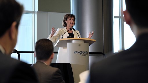
VANCOUVER (miningweekly.com) – The British Columbia government has made C$10-million in funding available over two years to further support its work encouraging mineral, coal, and oil and gas exploration investment in the province, Premier Christy Clark announced this week at the Association for Mineral Exploration’s Roundup conference in Vancouver.
The provincial government has also committed to extending and enhancing tax incentives to increase mineral exploration throughout the province.
“Public geoscience is integral to the long-term success of the mining industry in British Columbia, and every single dollar invested is returned five times over to British Columbians. We’re also providing tax incentives to make sure that mineral exploration companies choose British Columbia as the place to do business – that translates to more family-supporting jobs and grows our economy,” Clark stated.
The province is extending the mining flow-through share tax credit to December 31, 2017. The previous tax credit, which makes the province more attractive to the exploration sector, expired December 31, 2016. The province is also amending the provincial Income Tax Act to make environmental studies and community consultations eligible for British Columbia’s mining exploration tax credit, which mirrors a similar incentive now provided by the federal government. The tax changes are subject to the approval of the Legislative Assembly.
“Today, we have more than 30 000 people working in mineral exploration, mining and related sectors, and that’s double the number employed in 2001,” said outgoing Energy and Mines Minister Bill Bennett.
“Mineral exploration investment is by its nature risky. These tax incentives and the geoscience funding will encourage investment in early-stage exploration that ultimately leads to major mine investments and new jobs,” he continued.
Government pointed to the Brucejack gold mine as an example of the type of return that comes from publicly available geoscience. The $900-million mine is currently under construction by Pretium Resources, near Stewart. It is a project that is employing 900 workers during construction and, when completed, will provide decades of wealth generation for 300 permanent workers, governments and the company.
According to government statistics, more than C$4.4-billion has been invested in mineral exploration in British Columbia since 2001, an average of around C$280-million a year. Mineral exploration is a high-risk investment and tax incentives encourage companies to take on this risk, which leads to on-the-ground exploration activities.
Geoscience BC was established in 2005 through an initial C$25-million investment by the provincial government. Since then, the province has provided it with C$71.7-million in funding to help further mineral and energy geoscience initiatives. Geoscience BC has also secured more than C$23-million in additional funding from the resource sector, academia and other government sources. British Columbia is the only province in Canada that uses an organisation such as Geoscience BC to assist in the delivery of public geoscience.
PUBLIC DATA
Geoscience BC this week unveiled results from its Search Phase II Project – the largest geophysical survey conducted in Canada in 2016 – which helps to indicate the potential for new copper, silver and molybdenum deposits in the west-central areas of British Columbia.
The data is used by explorers to help decide where to focus their mining efforts and will eventually lead to on-the-ground exploration activities that will create jobs and stimulate regional economic activity.
In 2016, three magnetometer-equipped Cessna aircraft flew over a 24 000 km2 region in west-central British Columbia, recording local magnetic variations caused by magnetic minerals in the upper region of the earth's crust. These magnetic signatures were mapped and provided data for explorers to analyse and focus their exploration efforts.
The Search Phase II survey bridges a significant distance between Search Phase I, flown in 2015, and the TREK survey, conducted in 2013. Together, these three adjoining surveys will provide continuous high-quality data covering a 55 500 km2 area.
"Search Phase II is the largest geophysical survey ever conducted by Geoscience BC. The area has well-established infrastructure including reliable road networks, a rail line, accessible hydro, and a skilled workforce, all helping to make this region a cost-effective area to explore and ultimately develop a mine,” Geoscience BC president and CEO Robin Archdekin told reporters at a press conference.
According to Geoscience BC, portions of the search project area have not seen regional magnetic surveying in a generation and much of the area was surveyed before the advent of accurate global positioning systems and powerful data interpretation.