Council for Geoscience launches near-shore mapping programme
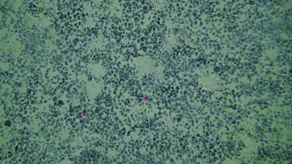
TREASURES OF THE DEEP Future possibilities in offshore mining include polymetallic manganese nodules and crusts, glauconite, phosphates and building aggregates
Photo by USGS
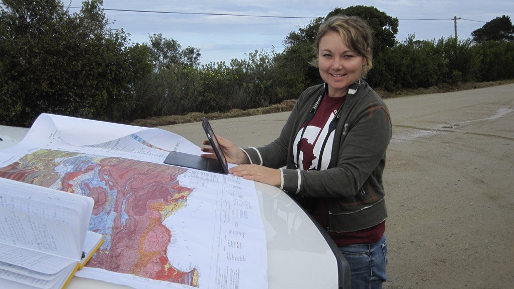
HAYLEY CAWTHRA Many countries have either completed multibeam bathymetric maps of their offshore territories, or are in the process of collecting these data


Mineral resources are important to the economy and the capacity building of South Africa and are being extensively exploited on land and there will likely be a shift towards the offshore environment, where exploration is currently focused on diamonds and titanium sand, says Council for Geoscience (CGS) marine geoscience unit senior geologist Dr Hayley Cawthra.
She remarks that future possibilities in offshore mining include polymetallic manganese nodules and crusts, glauconite, phosphates and building aggregates.
“The risk in future exploration and eventual exploitation, however, lies in the current relative lack of detailed knowledge of the seafloor. Careful environmental planning needs to be carried out in conjunction with the mapping of mineral deposits to ensure adherence to international regulations, as well as to protect our rich heritage,” Cawthra emphasises.
She comments that global trends in marine geology are heading in the direction of large-scale offshore mapping programmes, adding that many countries have either completed multibeam bathymetric maps of their offshore territories or are in the process of collecting the data.
She elaborates that trends are also focused on re-addressing the ocean as the new frontier for mineral exploration and understanding global change, as well as for food resources and renewable energy.
Therefore, to remain up to date with these developments, the CGS has launched and started the South African Nearshore Mapping Programme (Sanmap). The broad objective is to create and develop a marine geoscience programme at the CGS, through a three-year programme, as a test of concept for a long-term commitment to offshore mapping.
Cawthra notes that marine geoscience is not new to the CGS, but in light of government’s Operation Phakisa, the “urgent need” for offshore mapping has become apparent.
“We aim to apply cutting-edge geophysical mapping methods to the South African continental shelf,” she states.
The scientific aims of Sanmap are to acquire new marine geophysical data sets from regions of strategic interest and importance; to develop a high-resolution geophysical, geomorphic and palaeoenvironmental database for key sections of South Africa’s continental shelf embracing technological development and innovation; and to design a methodology for marine geoscientific data management.
With these data, the CGS intends to generate computer models of offshore geological and palaeoenvironmental settings under various sea level scenarios and create habitat maps for the living marine resources in order to apply them in sustainable marine planning in collaboration with partners.
Cawthra comments that the rationale encompasses various facets, with the aim being to address environmental stewardship (for example, renewable energy, hazard mitigation and climate change), undertake sustainable resource management (both geological and biological), engage in archaeological and historical heritage management, infrastructural development, and, “most importantly, carry out cutting-edge scientific research” in marine geology and coastal palaeoscience through an analysis of good-quality data.
The instruments being used to collect the data include a multibeam echosounder, a side-scan sonar, a marine magnetometer, a boomer subbottom profiler and a pinger subbottom profiler.
The strategic aims of this programme include the development of a strong marine geoscience group at the CGS, fostering partnerships and embracing collaboration, and remaining involved and active in matters related to ocean governance.
Cawthra notes that achievable geophysical surveys over three years are being conducted in carefully selected strategic areas, and that this will allow protocols to be developed, data requirements of end-users to be understood, skills development to be enhanced and valuable data to be generated.
Comments
Research Reports
Projects
Latest Multimedia
Latest News
Showroom

Rooted in the hearts of South Africans, combining technology and a quest for perfection to bring you a battery of peerless standing. Willard...
VISIT SHOWROOM

Press Office
Announcements
What's On
Subscribe to improve your user experience...
Option 1 (equivalent of R125 a month):
Receive a weekly copy of Creamer Media's Engineering News & Mining Weekly magazine
(print copy for those in South Africa and e-magazine for those outside of South Africa)
Receive daily email newsletters
Access to full search results
Access archive of magazine back copies
Access to Projects in Progress
Access to ONE Research Report of your choice in PDF format
Option 2 (equivalent of R375 a month):
All benefits from Option 1
PLUS
Access to Creamer Media's Research Channel Africa for ALL Research Reports, in PDF format, on various industrial and mining sectors
including Electricity; Water; Energy Transition; Hydrogen; Roads, Rail and Ports; Coal; Gold; Platinum; Battery Metals; etc.
Already a subscriber?
Forgotten your password?
Receive weekly copy of Creamer Media's Engineering News & Mining Weekly magazine (print copy for those in South Africa and e-magazine for those outside of South Africa)
➕
Recieve daily email newsletters
➕
Access to full search results
➕
Access archive of magazine back copies
➕
Access to Projects in Progress
➕
Access to ONE Research Report of your choice in PDF format
RESEARCH CHANNEL AFRICA
R4500 (equivalent of R375 a month)
SUBSCRIBEAll benefits from Option 1
➕
Access to Creamer Media's Research Channel Africa for ALL Research Reports on various industrial and mining sectors, in PDF format, including on:
Electricity
➕
Water
➕
Energy Transition
➕
Hydrogen
➕
Roads, Rail and Ports
➕
Coal
➕
Gold
➕
Platinum
➕
Battery Metals
➕
etc.
Receive all benefits from Option 1 or Option 2 delivered to numerous people at your company
➕
Multiple User names and Passwords for simultaneous log-ins
➕
Intranet integration access to all in your organisation